
Preserved northern coast towers, gathered for exploration.
Follow the shoreline by landmark and trace how each beacon still holds its place in coastal memory.
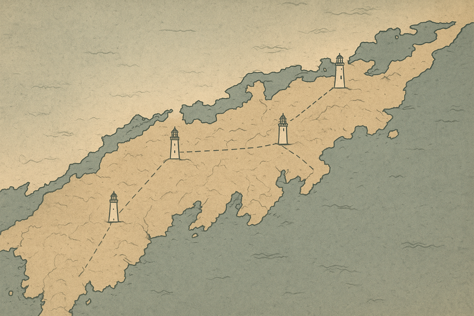
This page gathers preserved northern coast towers into one map-oriented reference so you can move directly from location to context before entering the full directory below.
Explore the map.Preserved tower directory
Browse surviving northern coast lighthouses by place
Visiting and preservation notes
Common questions about what survives, what access may vary by season, and how these places are interpreted today.
Are all preserved towers open to the public?
No. Some towers operate with scheduled access, while others can be viewed only from surrounding paths or harbor edges to protect fragile interiors.
Why are certain rooms or stairs closed?
Closures usually reflect conservation limits: worn ironwork, narrow spiral stairs, moisture damage, or active stabilization projects that require controlled access.
How accurate are modern reconstructions and repainting?
Most preserved sites follow archival plans, paint analysis, and maintenance logs. When evidence is incomplete, interpretive signage typically marks what is restored versus original fabric.
Do weather and tides affect what can be seen?
Yes. Coastal wind, fog, and tide levels can change path conditions and visibility. Seasonal notes in each tower entry help clarify the safest and clearest viewing periods.
Where can I find deeper records beyond the tower profiles?
Use the linked archive photographs and keeper stories for logbook excerpts, maintenance correspondence, and dated imagery that expands each sites timeline.